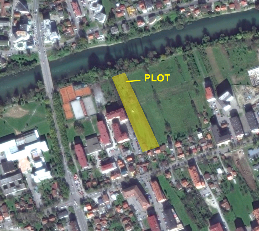
PLOT FOR BUILD RESIDENTAL BUILDING SALE
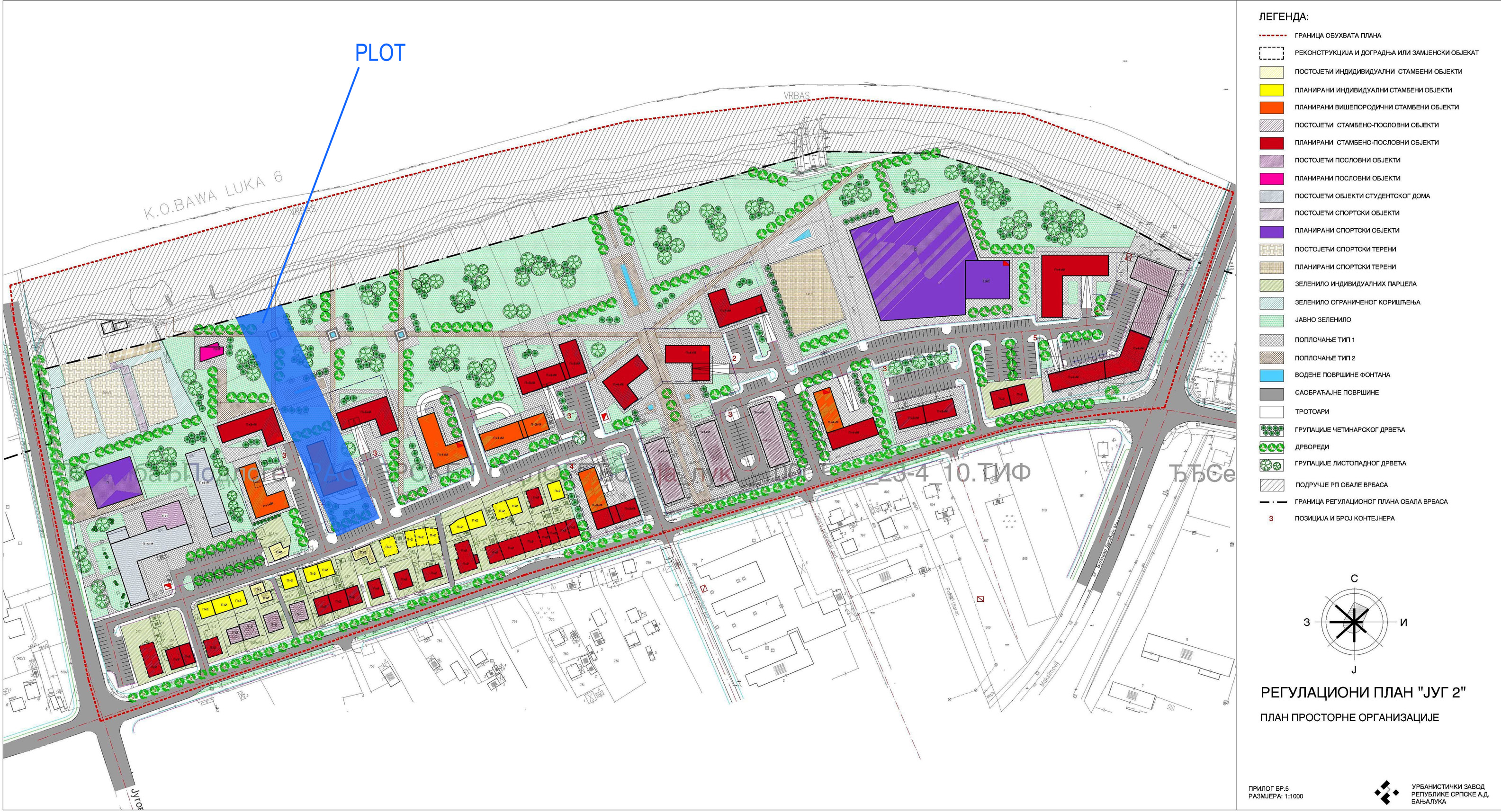
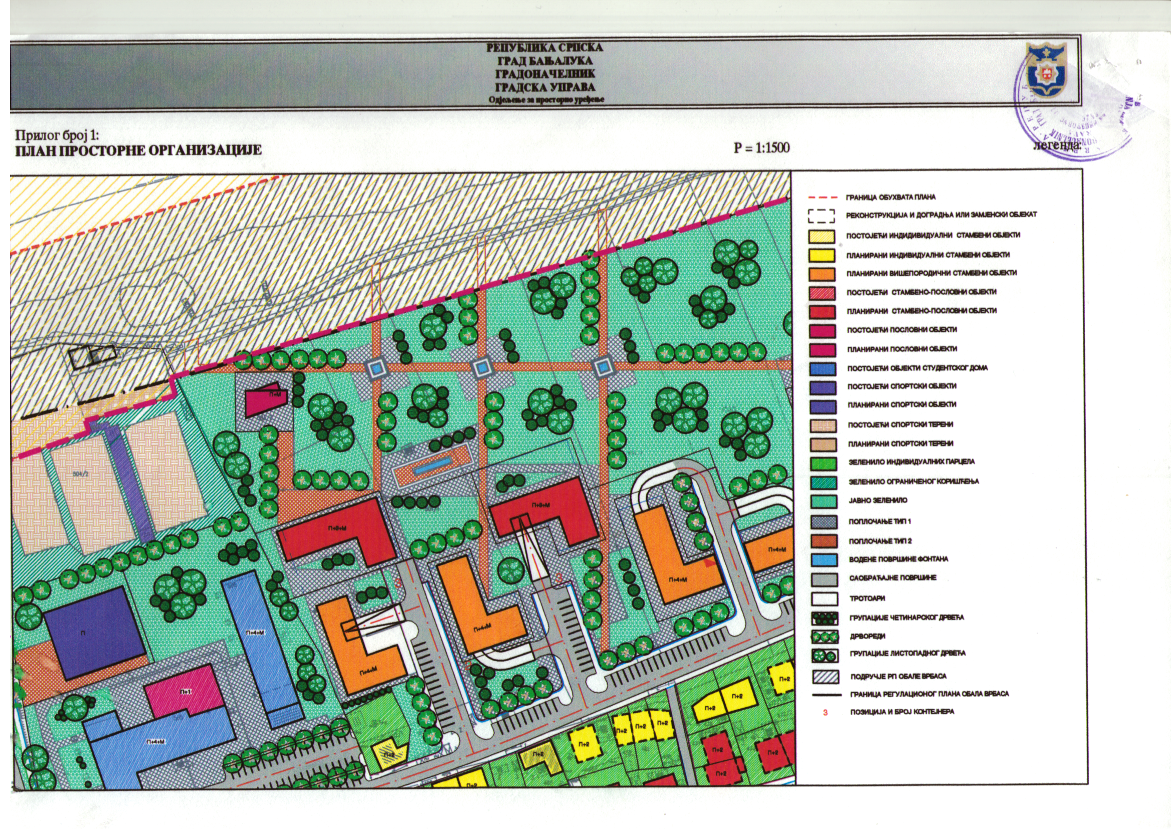
– Treatment: Urban building land
– Type of buliding that can be built: Residential
– Zone of urban building land: II zone of the city of Banja Luka
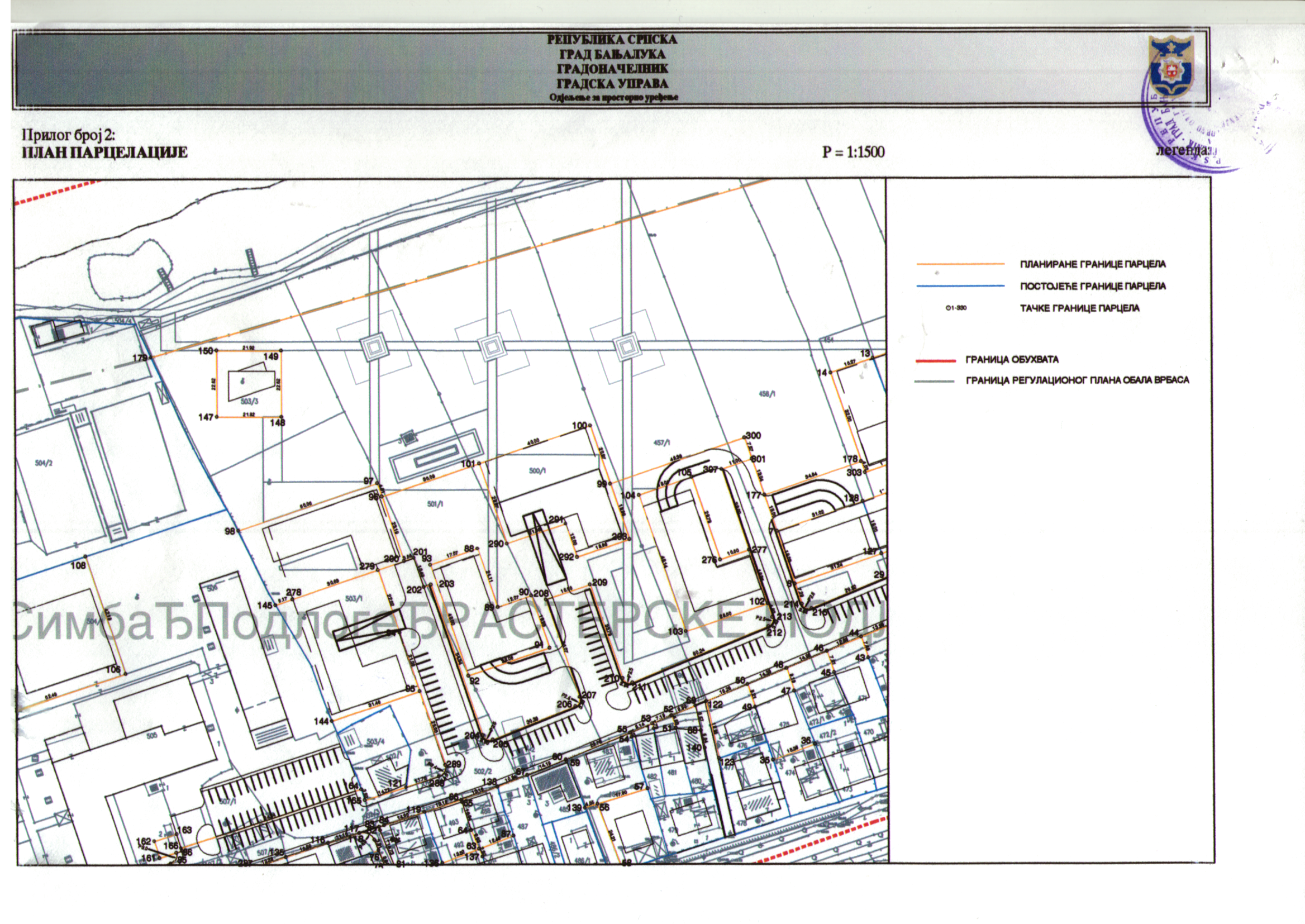
– Location: Covered by the Regulatory Plan SOUTH 2, right side of the river Vrbas – Vojvode Stepe Stepanovića, Banja Luka
– GPS coordinates: 44°45’58.3″N 17°12’07.0″E
– Configuration of ground: Flat ground
– Land area: 5680 m2
– Max surface that can be built: 3000 m2
– Max surface of the planned building: 5000 m2 (40m max length x 29 m max width x L right profil 24 x 18 x 18m)
– Suface of the planned green areas: 2680 m2
– Max levels that can be built : P+4+M